Sunday, March 30, 2014

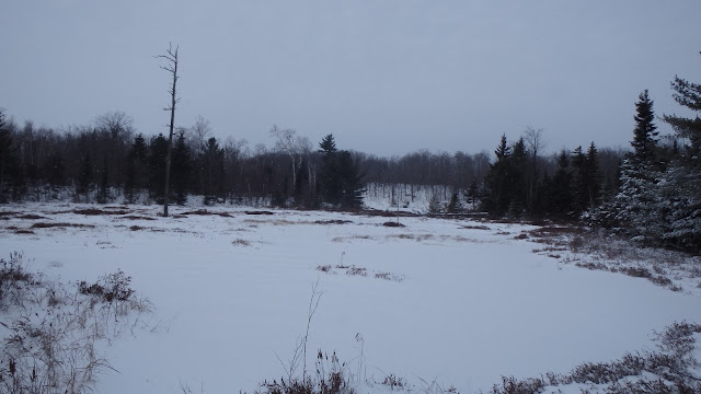
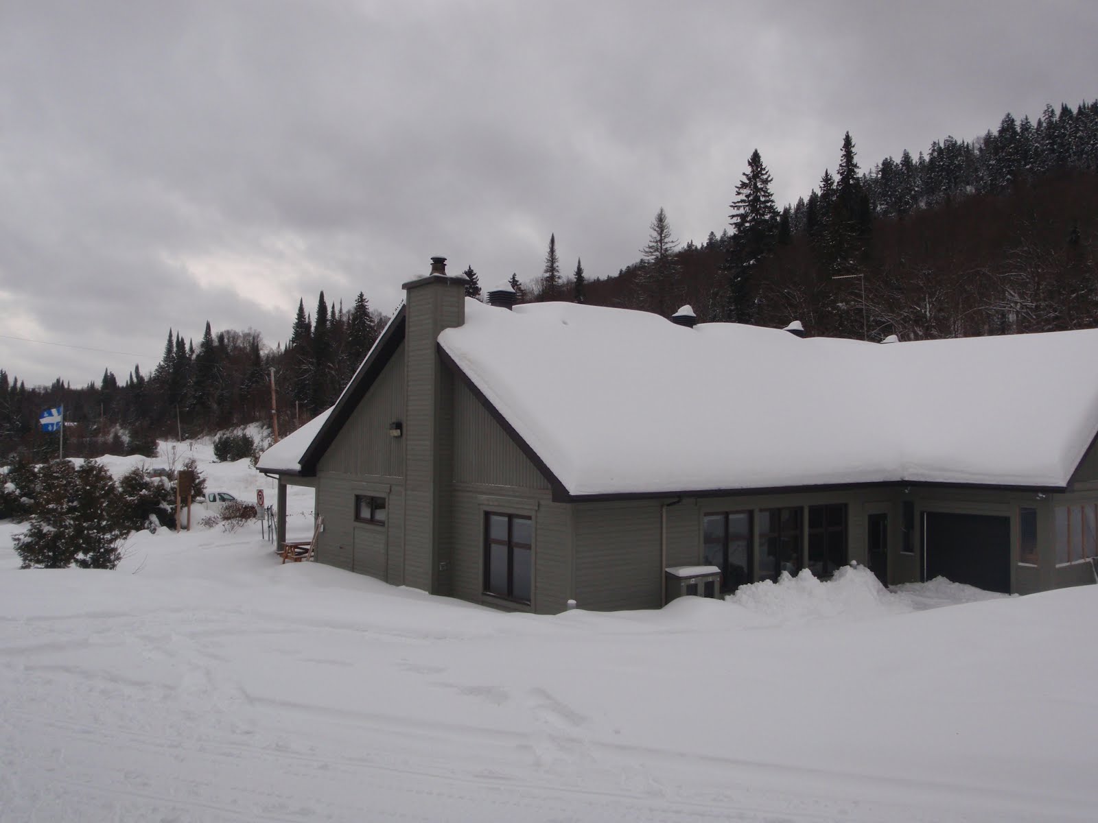
Snowshoeing Monts-Valin National Park

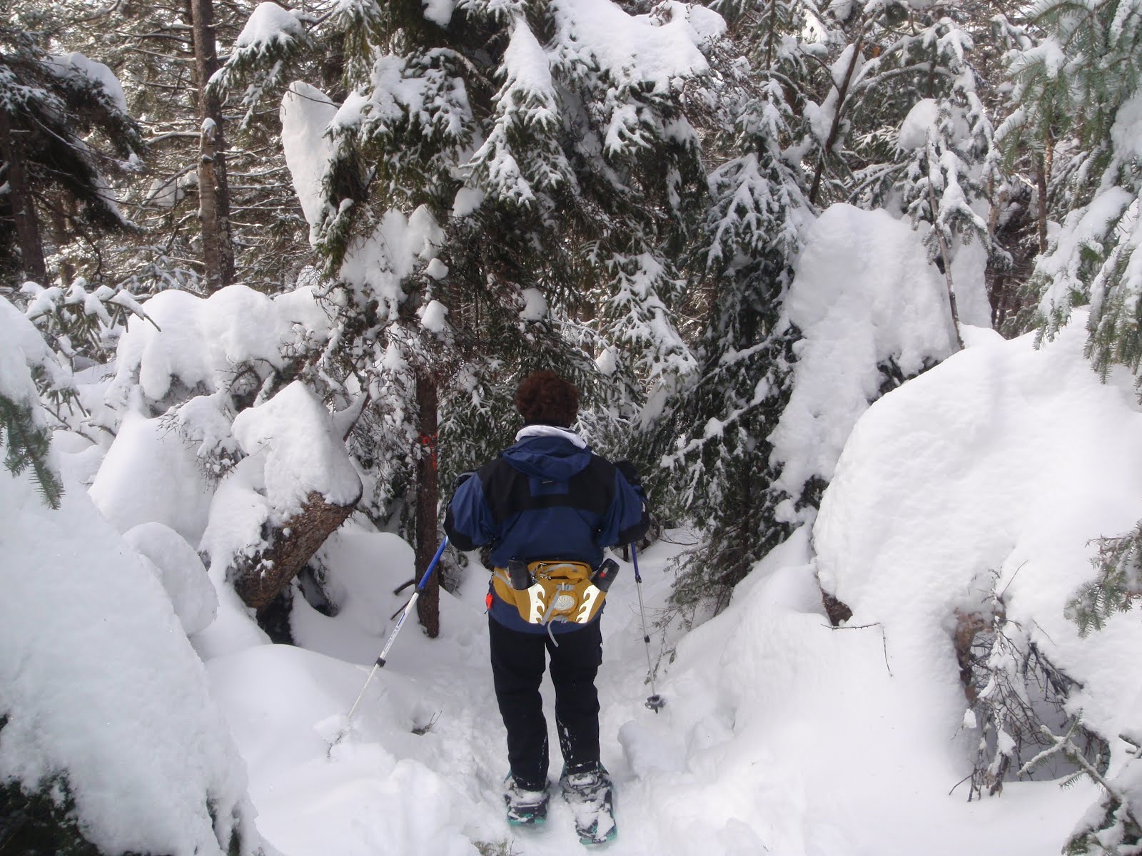
Seven hours snowshoeing through the peaks comfortably in below -15 degrees Celsius weather (not counting wind chill) wearing:

- Black Diamond Dawn Patrol Hybrid shell
- Black Diamond Solution hoodie
- Black Diamond Coefficient hoodie
- Arc'teryx Beta Ar pants
- North Face Arctic Hedgehog boots
- North Face Patrol 35 pach
- MSR Lightning Ascent snowshoes


Labels: , , , , , , , ,

Saturday, March 22, 2014

Snowshoeing Spring 2014 - Gatineau Park

One last snowstorm today gave us great conditions to close out an extended snowshoeing season that started in November.

We headed up to the Lac Philippe area for trail #74 that (surprisingly) we hadn't done yet this year. 

Here are some pictures that we took along the way. 


Labels: , , ,

Sunday, January 05, 2014

Snowshoeing Conditions on Trail #61-61 Gatineau Park

Lots of deep powder available today off the beaten path of Trail #60-61 in Gatineau Park today. 


Temperatures were very mild compared to the deep-freeze we've had recently. 


Unfortunately, the warm spell is bringing a substantial amount of freezing rain and rain, followed by colder and windier conditions. It will take a while before conditions come back to what they were today.


Labels: , ,

Sunday, December 15, 2013

Dawn Patrol on Wolf's Trail

'twas the morning after the snowstorm that was to bring at least 15cm (3 in) of fresh new powder.  With overnight temperatures near -20 deg C (-5 deg F), it was destined to be light and fluffy. Alarm clock set at 6am (on the day of rest), headed out to the trailhead before the break of dawn. Maintenance crews hadn't plowed the parking lot yet and I was the first to bust through the massive snowbank blocking the entrance-way. Always nice to be the first one to reach the trail head!


On the trail before sunrise, temperature around -12 C by then (10 F), the gradual climb wore off the chill that submerged the landscape. 


This was the first chance for me to try my new gear consisting of:

- Black Diamond Dawn Patrol Hybrid shell
Black Diamond Coefficient Hoody
- Arc'teryx Beta AR pants
- Helly Hansen Warm Pant

I didn't want to overdress and steam up on this 8mk (5 mile) loop with a fair bit of vertical rise, and with 15 lbs of gear in my backpack. Lets just say that if I wasn't moving, I'd be chilling.  With an MEC T3 turtleneck under my hoody, I was comfortable and dry the whole way, lowered the front zip of my shell only during the steepest climbs. Legs felt fine under the surprisingly loud Goretex Pro pants from Arc'teryx. First impressions of the HH Merino/Lifa blend long-john's are very good (comfortable, dry, warm). 

The one new piece of gear that I left at home (but wished I had with me) were my MSR Lightning Ascent snowshoes. My Atlas 12 shoes have lots of grip but not enough to stop me from slidding on side-slopes and falling down a few times. 

Took picture at the usual spots along the way,   


The infamous creek crossing, without the old log bridge. 


The infamous beaver pond. 


First lookout, shortly after sunrise. 


Next lookout along the way up.


Altitude (uncalibrated) check. 


Lookout with view of the Ottawa river far away.


The infamous bench with a view (reservations recommended). 


Back-side view.


Reaching trail #1 toward the fire tower (but nowhere near there). 


The infamous moutain-top lake/swamp.


And finally, multiple views of the gorgeous Tawinda Lookout.


On the way back, downhill and rehabilitated trail, half the time it takes to walk up the other side of the loop. Crossing trail #1 again, toward Western lookout (but nowhere near there). 


This next picture sums it all up, it was like "walking on a cloud" today on the Wolf/Blanchet loop (trail #62) in Gatineau Park near chelsea QC. 


In the last half-hour of this 3-hour outing, came across the first of three groups on their way up.  One of a few small stream crossings below. 


To rest-up from this little work-out, nothing like heading back home to spend 1+ hour clearing the driveway :-)

Labels: , , , , , ,

Friday, February 10, 2012

Snowshoeing in the Pimbina Sector of Mont-Tremblant National Park

On January 28th, following a full day of rain and freezing rain from southern Ontario all the way up to the summit of Mont-Tremblant ski resort, we were lucky that 14 cm of fresh snow fell overnight in the Pimbina sector of the Mont-Tremblant National Park, north of the lovely municipality of St-Donat, QC, slightly North of Ste-Agathe-des-Monts, QC.

After an incredible evening at the Bistrot Les copins d'abord (highly recommended) at 804, rue de Saint-Jovite in Mont-Tremblant, we had plenty of reserves in our bodies to tackle this challenging climb in the park.

Our goal was to climb to the summit by trail R1 (named "L'Envol", 3.4 km, rated Intermediate) to the Geai-Bleu shelter, returning to the starting-point by trail R2 (named "Le Geai-Bleu", 2.4 km, rated "Easy"). See below for a close-up of the trails, see the following link for the full map.


The starting point is at 400m (1300 ft) of elevation, if you look closely enough at the contour lines on the map, the peak is around 740m (2405 ft), for a vertical rise of 340m (1100 ft). The area shaded in darker grey is a "free" zone where snowshoeing off the beaten path is allowed. While it looks deceptively small on the map, there is LOTS of room to roam around.

You don't get from the base to the peak without climbing and without sweating (unless you are dressed for some highly aerobic activities). The following picture give a sense of what it was like on the way up.


The first lookout provides a rewarding view to the North-East, towards Lac Provost and Lac Lajoie.


Continuing the climb over and across the summit leads to the second lookout with a truly spectacular view of the Laurentian mountains. I'm a bit puzzled by the 1680 ft marker at this point, that's a fair bit below the 2405 ft peak suggested by the trail map for the nearby summit.


Reaching the summit is half the challenge, the other half (before heading back) is to reach the shelter. As we head back into the snow-infested forest....


...there are some nice viewpoints along the way...


...including some nice downhill sections.


By the time we finally reach the Geai-Bleu (Blue-Jay) shelter, we're ready to dry-out, rest-up and eat-up before heading back!


The shelter includes a wood stove in the back corner, a set of tables from front to back and beds around the perimeter (for those with reservations after 4PM). An outhouse is located in the woods behind the shelter.

I made the mistake of stepping in the unpacked snow without my snowshoes and sank to my hips. Definitely more snow here than back home!

One unique experience at this shelter was seeing Grey Jays for the first time ever. I didn't even know such a bird existed and had never heard of its name beforehand. Note how I skillfully hide the full rations behind my thumb!


Heading back on R2 avoids much of the climbing encountered on R1. The scenery along this trail is more rustic than the wider R4.


Note the small Glacial Erratic rock in the next picture...


After a challenging and very satisfying snowshoe outing, it's always comforting to know there is a full-service visitor's center at the end of the trail.


Highly recommended destination for snowshoeing, a few hours away from Montreal and the Ottawa region.

Labels: , , , , ,

Saturday, January 14, 2012

Gatineau Park Trail #60 & 61 Friday Jan 13th


Conditions were as good as they have been this year, thanks to a fresh dump of snow on Thursday/Friday. Snow was slightly humid, with a very thin crust half-way down from the light freezing rain.


Labels: , , ,

Friday, January 06, 2012

Gatineau Park Snowshoeing Trails #60 & 61 Friday January 6th

Trail conditions were good to very good this evening. Still early in the season, very few bare rocks left on the trail, plenty of fluffy powder off the beaten path.

Labels: , , ,

Sunday, January 16, 2011

Trail #71 - Full Loop

Following yesterday's pleasant discovery of a small portion of trail #71, I decided to try the full loop today. Conditions were good to very good, with only a few bare spots here and there on steep sections or areas shaded by a lot of trees.

From P15, with the wind in my face and the sun in my back, I took on the full force of the minus twenty-something windchill by choosing a counter-clockwise direction around the loop.


The first part of the trail on on very flat but picturesque fields in the adjoining valley.


The trail is well marked however it could be easy to miss the signs in a heavy snowstorm.


There was tons of powder to be had for anyone willing to wander a foot or two off the beaten path.


Eventually you must cross a steep ravine created by small stream.

Here is the first crossing...


...and here is the second. Not that difficult but a definite contrast from the surrounding fields.


After 2 km you reach an intersection with Trail #71 headed in two different directions, one way leads to trail #72, the other way continues the trail #71 loop (a rather confusing set-up, see the map above).

In the picture below, I arrived from the left and continued to the right towards the rest area on trail #71 (as described in yesterday's post). From here it's another 2.5km to the rest area, then 1km to trail #70 and another 1km back to P15 (for a total of 6.5 km).
A round-trip to Brown cabin in one day would be doable but I wouldn't take this way Healey cabin unless I was staying there overnight. For a day-trip to Healey, trail #70 provides a much more direct route.


The second part of the trail leads to the very peaceful Carman lake. I was surprised to see open water on the lake near the trail.


When I saw the bridge I then realized that the lake empties out into a stream at this point.


Upstream view from the bridge looking back onto the lake.


Downstream from the bridge is an old water-level control dam.


The third part of the trail takes us back into the mountains. You'll notice from the contour lines on the map above some rather lengthy and steep climbs. In the picture below, my camera is horizontal looking towards one of these steep sections.


After a while, the terrain levels out and the trail takes you through some very pleasant wooded areas of the park.


Thankfully a fire was already burning at the rest area, enough to keep warm during a quick snack before the last 2 km back to the parking lot.

Total time: 2h45m at a brisk pace and with short breaks.

Labels: , , ,